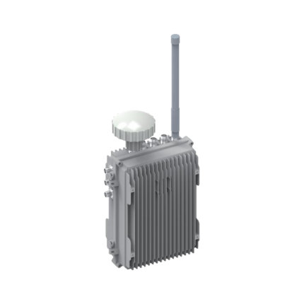
Product Overview
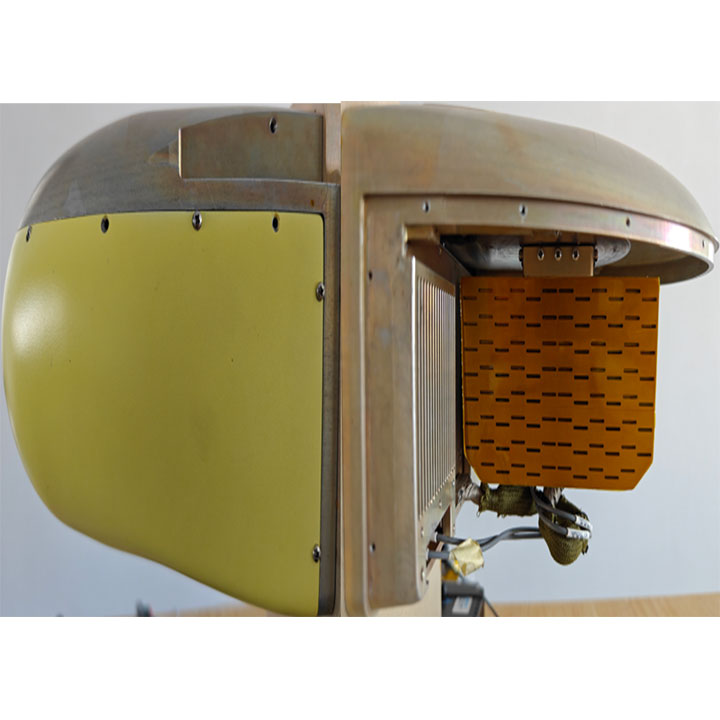
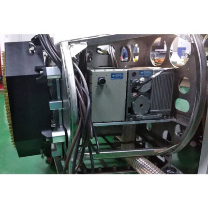
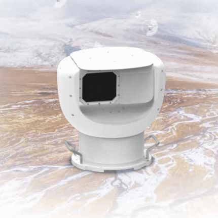
China Moneypro MPS196 SAR (Synthetic Aperture Radar) Reconnaissance Payload is an advanced active microwave remote sensing system that enables all-weather, day-and-night imaging capabilities. With the ability to penetrate clouds, fog, and partial surface coverings, it provides unparalleled situational awareness across both military and civilian applications.
- Military Applications: strategic and tactical reconnaissance, target identification, battlefield assessment, missile guidance, moving target indication (MTI), and maritime surveillance.
- Civilian Applications: disaster monitoring, natural resource exploration, precision agriculture, forestry management, and infrastructure inspection.
Key Features
- Anti-Jamming Performance– Strong resistance to co-frequency interference and suppression jamming.
- Dual-Sided Imaging– Real-time stripmap imaging of stationary or slow-moving ground targets.
- Spotlight Mode– Real-time high-resolution imaging of designated regions.
- Command & Control Functions– Remote self-check, servo loop inspection, power management, and mode switching.
- Built-in Reliability– Power-on self-test, real-time fault monitoring, and fault localization.
- Flexible Maintenance– Support for non-intrusive testing and software online upgrade.
- Stabilized Operation– Space stabilization under platform motion.
- Comprehensive Data Logging– Raw echo data and system status recording with detachable storage or easy download capability.
Technical Specifications
Antenna & Servo System
- Scan Range: Azimuth –110° to +110°, Elevation –5° to –45°
- Pointing Accuracy (3σ): Azimuth ≤ 0.1°, Elevation ≤ 0.2°
SAR Imaging
- Operating Band: Ku-band
- Imaging Range: Azimuth ±70°–110°, Elevation –3° to –45°
- Resolution & Coverage: Optimized across multiple pixel resolutions, with performance not inferior to specified benchmarks
Imaging Performance Requirements (Typical Ground Height H = 2000 m)
- Ground Resolution: 0.5 m × 0.5 m
- Operating Range: 8 km
- Imaging Swath: ≥ 4 km
- Reference Index Swath: ≥ 5 km
- Ground Resolution: 0.3 m × 0.3 m
- Operating Range: 6 km
- Imaging Swath: ≥ 2 km
- Reference Index Swath: ≥ 3 km
- Ground Resolution: 0.1 m × 0.1 m
- Operating Range: 3 km
- Imaging Swath: ≥ 1 km
- Notes: Reference Index
- Noise Equivalent Sigma Zero (NEδ0): ≤ –20 dB
- Real-Time Imaging: <10 s processing, with no accumulation required for echo data
- Geolocation Accuracy: ≤10 m CEP in flat terrain
- Typical Scenes: desert, urban areas, farmland, ports, airports, coastal regions
- Image Distortion (3σ): ≤2.5% in ground projection direction
- Gray Scale Quantization: 8-bit
- Continuous Imaging Duration: ≥15 minutes
Data Storage & Transmission
- Storage Capacity: ≥1 TB
- Data Interface: Gigabit Ethernet or other high-speed interfaces for ground station connectivity
Mechanical & Physical
- Dimensions: 190 mm (W) × 155 mm (H) × 250 mm (L)
- Weight: ≤7 kg
Advantages at a Glance
- All-weather capability: Reliable imaging in rain, fog, and low-visibility conditions.
- High precision: Sub-10 m geolocation accuracy.
- Compact & Lightweight: Less than 7 kg with small form factor, ideal for UAV and airborne integration.
- High endurance: Continuous imaging up to 15 minutes with fast data processing.
Why Partner With Us?
- Tailored Solutions– We work closely with clients to develop SAR systems optimized for their unique mission profiles, whether airborne, naval, or ground-based.
- Next-Generation Technology– Leveraging Ku-band and multi-band architectures, ultra-wideband waveforms, and adaptive digital beamforming, our systems deliver sub-meter resolution and real-time imaging refresh rates exceeding international benchmarks.
- Advanced Anti-Jamming & Anti-Spoofing– Built-in electronic counter-countermeasures (ECCM), space-time adaptive processing (STAP), and AI-driven interference suppression ensure mission success in highly contested electromagnetic environments.
- Lightweight & Compact Design– Proprietary materials and miniaturized RF components enable payloads weighing under 10 kg, seamlessly integrating with UAVs, aircraft, and mobile platforms.
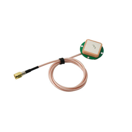
- Data Intelligence Ready– SAR outputs are optimized for fusion with AI analytics, EO/IR imaging, and IMU/GNSS navigation, enabling next-generation situational awareness and decision-making.
The SAR Reconnaissance Payload is a compact, lightweight, and high-performance solution designed for next-generation ISR (Intelligence, Surveillance, and Reconnaissance) missions. With its Ku-band high-resolution imaging, advanced anti-jamming capability, and versatile integration features, it stands out as a reliable choice for both defense and civilian applications.
📩 Learn More & Contact Us
For more details, datasheets, and integration support, please visit our website or contact our sales team.
🌐 Website: www.moneyprouav.com
✉️ Email: sales@moneyprouav.com
📞 Phone: +86-18126437260 (Wechat Telegram What’s App)

