High-Accuracy Earthwork Measurement Drone – Revolutionizing Construction Surveying
Advanced UAV Solution for Earthwork Quantification and Progress Monitoring
Core Features
- RTK/PPK Positioning System: 1cm vertical accuracy for precise cut/fill calculations
- High-Frequency Survey Capability: Daily site progress monitoring
- Automated Volumetric Reporting: Direct export to Trimble, AutoCAD Civil 3D formats
- Long Endurance Operation: 60+ minutes per flight, covering 50-100 acres
Performance Specifications
| Parameter | Moneypro EM-500 | Standard Surveying Drone |
|---|---|---|
| Vertical Accuracy | 1cm (with RTK) | 3-5cm |
| Volumetric Error Rate | <0.5% | 1.5-2% |
| Max Daily Coverage | 500 acres | 150 acres |
| Data Processing Time | 15 minutes (automated) | 2-4 hours |
Cutting-Edge Technologies
AI-Powered Volume Calculation
- Deep learning algorithms for material classification (soil, rock, stockpile)
- Automatic change detection between surveys
- Predictive earthwork balancing suggestions
Advanced Sensor Suite
- High-res RGB camera with global shutter (42MP)
- Optional LiDAR payload for dense vegetation penetration
- Multispectral imaging for material moisture analysis
Military-Grade Positioning
- Anti-jamming GNSS receivers for challenging environments
- Dual-antenna RTK for precision in high-slope areas
- Local grid coordinate system support
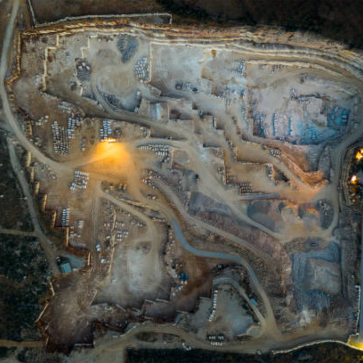
Key Market Applications
Civil Engineering & Construction
- Real-time cut/fill monitoring for road construction
- Progress tracking for large-scale earthmoving projects
- As-built verification vs. design models
Mining & Quarry Operations
- Daily reserve volume calculations
- Stockpile management and inventory control
- Reclamation progress monitoring
Infrastructure Development
- Dam construction surveying
- Railway embankment measurement
- Landfill capacity management
Industry Advantages
Operational Efficiency
- 80% reduction in surveying time vs. traditional methods
- 60% cost saving on earthwork measurement
- Elimination of ground control points
Data Integration
- Seamless BIM/GIS compatibility
- PDF/Excel report auto-generation
- Cloud-based collaboration platform
Case Studies
Highway Construction Project (Shanxi Province)
- Reduced surveying time from 3 days to 2 hours
- Identified 5,200m³ of unaccounted material movement
- Saved $120,000 in survey costs over project duration
Open-Pit Mine (Inner Mongolia)
- Daily production volume monitoring
- 99.2% accuracy in ore reserve calculations
- ROI achieved in 17 days of operation
Technical Specifications
- Max Flight Time: 68 minutes
- Operating Temperature: -20°C to 50°C
- Wind Resistance: 12 m/s
- Payload Options: RGB, LiDAR, multispectral
- Data Outputs: CSV, DXF, LandXML