


UAV/Drones
Showing 64–71 of 71 results
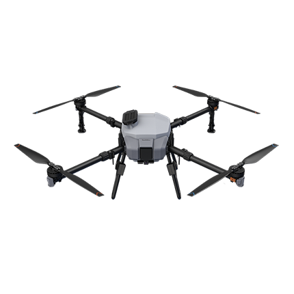
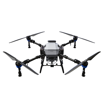

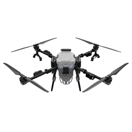

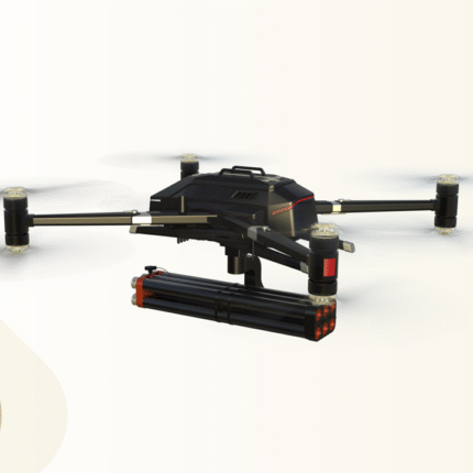
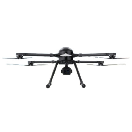
MT100 Industry Level Drone
The whole machine adopts four-axis eicht-rotor lavout, pure electric power, wheelbase 2000 mm, standard load 30 kasupport for multiple types of mounting eguipment, Pluggable modular desian, aerodynamic desin, At the same time, iis equipped with industrial flight control system, RTK differential positioning system, milimeter-wave radar obstacleavoidance,giving it unparalleled flight performance.
UAV
A Unmanned Aerial Vehicle (UAV), commonly known as a drone, is an aircraft operated without a human pilot on board, controlled either remotely by a ground-based operator or autonomously via pre-programmed flight plans and onboard sensors. Available in diverse sizes—from compact consumer models to large industrial-grade systems—UAVs integrate core components like electric motors, rechargeable batteries, GPS modules, and high-definition cameras or specialized payloads (e.g., thermal imagers, LiDAR). They excel in applications ranging from aerial photography and recreational flying to professional sectors such as agricultural crop monitoring, infrastructure inspection (bridges, power lines), search-and-rescue missions, and environmental surveillance, offering flexibility, cost-efficiency, and access to hard-to-reach areas while minimizing human risk.

Unmanned Aerial Vehicle For Embankment Inspection And Risk Assessment
This specialized unmanned aerial vehicle is designed for comprehensive embankment inspection and risk assessment. Equipped with high-resolution optical and thermal imaging sensors, it can efficiently detect cracks, seepage, erosion, and structural anomalies along embankments and levees. The UAV's autonomous flight planning capabilities allow for systematic coverage of large areas, while its data processing system generates detailed 2D/3D models and risk assessment reports. This technology enables engineers and emergency responders to identify potential hazards early, prioritize maintenance efforts, and make informed decisions for disaster prevention and mitigation.