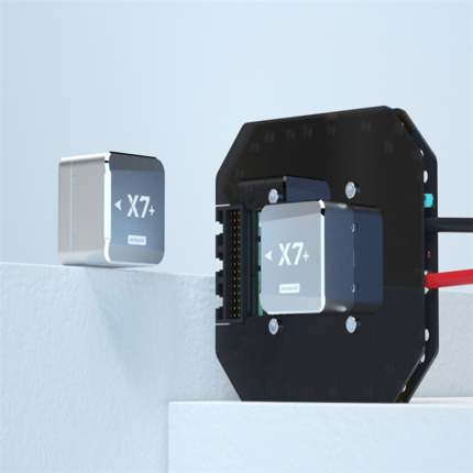
1. Flight Control System for Examination & Training
The system is designed for UAV pilot training and certification testing environments. It simulates real flight control scenarios, helping users improve mission planning skills, understand UAV behavior, and practice safe flight operations in a controlled digital environment.
Key benefits:
- Supports structured training and assessment workflows
- Simulates real UAV mission control logic
- Enhances pilot operational accuracy and decision-making
2. Relative Coordinate Editor Function
The relative coordinate editor allows users to define and adjust waypoint positions based on a reference point rather than absolute GPS coordinates.
Features include:
- Flexible waypoint adjustment using relative offsets
- Simplified mission editing for complex routes
- Improved efficiency in multi-point flight planning
This function is especially useful for repetitive missions and localized aerial surveying tasks.
3. Latitude & Longitude Coordinate Conversion
The system includes a powerful coordinate conversion tool that enables seamless transformation between different spatial reference formats.
Capabilities:
- Convert between relative coordinates and global GPS coordinates
- Support for latitude/longitude precision editing
- Ensures compatibility with global navigation systems
This improves interoperability between different mapping and flight planning platforms.
4. Inverse Trigonometric Function Calculator
An integrated mathematical tool provides inverse trigonometric calculations required for UAV navigation and flight path optimization.
Functions:
- Calculate angles for flight direction adjustment
- Support for arcsin, arccos, and arctan operations
- Assists in precise trajectory planning and spatial analysis
This feature is essential for advanced flight path geometry computation.
5. Waypoint Reverse Order Function
The waypoint reverse function allows users to instantly invert the flight route sequence.
Advantages:
- One-click reversal of mission waypoints
- Saves time in return-path planning
- Useful for round-trip aerial missions and inspection routes
This function improves operational flexibility and mission reuse efficiency.
| Item | Specification |
|---|---|
| IMU Sensor | 1 |
| GPS Quantity | 1 |
| Power Supply | 8–60V |
| Operating Temperature | -20 to +55 °C |
| Built-in IMU Shock Absorption | × (Not available) |
| Built-in RTK | × (Not available) |
| Built-in Dual-Antenna Heading | × (Not available) |
| Payload (Gimbal/Seeker) Support | × (Not available) |
| Engine (Fuel-powered UAV) Support | × (Not available) |
| Airspeed Measurement Method | Single pitot tube (dynamic pressure) |
| Power Consumption | < 3W |
| Attitude Accuracy | 1° |
| Heading Accuracy | 2° |
| Gyroscope Range | ±450 °/s |
| Accelerometer Range | ±8 g |
| Positioning Accuracy | 2.5 m |
| Velocity Accuracy | 0.1 m/s |
| Airspeed Range | 0–40 m/s |
| PWM Channels | 14 channels |
| SBUS Input | 1 channel |
| Voltage Monitoring Channels | 2 |
| Voltage Monitoring Range | 0–60V (optional high-voltage module) |
| CAN Interface | 1 |
| Serial Ports | 3 × TTL |
| Ethernet | None |
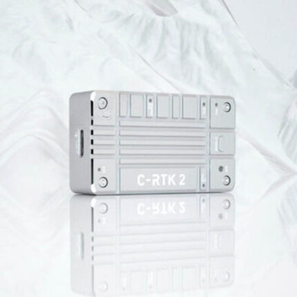
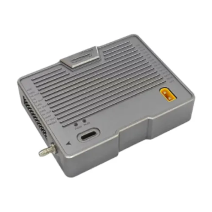
| Dimensions | 82 × 62 × 19 mm |
| Weight | 92 g |