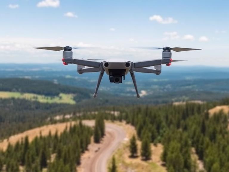
In the rapidly expanding world of unmanned aerial vehicles (UAVs), safety and legality are the twin pillars of every successful flight. Whether you are a hobbyist capturing a sunset or an industrial surveyor inspecting a wind turbine, you have likely encountered the most famous regulation in the drone industry: the 400-foot ceiling. But the 400 foot rule for drones is often misunderstood. Is it a hard limit? Is it measured from sea level or the ground? And importantly, does it apply differently to recreational flyers versus certified commercial pilots?
As we navigate 2026, airspace regulations have become more sophisticated, yet the “400-foot” concept remains the golden standard for separating manned and unmanned traffic. Understanding the nuances of this rule protects you from hefty fines, ensures the safety of the National Airspace System (NAS), and unlocks the full potential of your equipment. This comprehensive guide dissects the regulation, explores its critical exceptions, and introduces professional-grade equipment that ensures compliance.
Table of Contents
- 1. The Core Concept: Why 400 Feet?
- 2. AGL vs. MSL: Understanding Altitude Measurement
- 3. Recreational vs. Commercial: The Regulatory Split
- 4. The “Above Structure” Exception (Part 107 Only)
- 5. Navigating Controlled Airspace (LAANC)
- 6. Professional Equipment for Compliant Operations
- 7. Global Context: Is the 400 Foot Rule Universal?
- 8. Best Practices for Altitude Management
- 9. Summary Comparison Table
- 10. Frequently Asked Questions (FAQs)
- 11. References
1. The Core Concept: Why 400 Feet?
The 400 foot rule for drones was established to create a safety buffer between unmanned aircraft and traditional manned aviation. In the United States, the Federal Aviation Administration (FAA) generally requires manned aircraft (like Cessnas and helicopters) to fly no lower than 500 feet above ground level (AGL) in uncongested areas. By capping drone flights at 400 feet, regulators created a 100-foot buffer zone to minimize the risk of mid-air collisions.
This separation is critical. Manned aircraft move at speeds that make spotting a small drone difficult until it is too late. The 400-foot ceiling keeps drones in “Class G” (uncontrolled) airspace near the ground, where they pose the least risk to the broader aviation ecosystem. While simple in theory, the application of this rule varies significantly depending on your certification status and the specific airspace you are operating in.
2. AGL vs. MSL: Understanding Altitude Measurement
To follow the 400 foot rule for drones, you must understand how altitude is measured. Aviation relies on two primary metrics:
AGL (Above Ground Level)
This is the vertical distance between your drone and the ground directly beneath it. The 400-foot rule refers almost exclusively to AGL. If you launch from a valley floor and fly up the side of a mountain, maintaining 400 feet AGL means your drone climbs relative to sea level as the terrain rises beneath it.
MSL (Mean Sea Level)
This is your absolute altitude relative to sea level. Manned aircraft use MSL. While drone pilots primarily use AGL for legal limits, knowing your MSL is crucial when operating near airports or in mountainous terrain to ensure you are not entering restricted altitudes defined by MSL on aeronautical charts.
3. Recreational vs. Commercial: The Regulatory Split
The interpretation of the 400 foot rule for drones depends heavily on whether you are flying under 49 USC 44809 (Recreational) or 14 CFR Part 107 (Commercial).
Recreational Flyers (44809)
For hobbyists, the rule is generally a hard ceiling. You must fly at or below 400 feet AGL in uncontrolled (Class G) airspace. There are virtually no exceptions to fly higher than 400 feet for recreational purposes unless you are flying at a specific FAA-recognized fixed site (FRIA) that has a higher altitude authorization. If a hobbyist wants to inspect a 500-foot tower, they cannot legally fly to the top of it; they are capped at 400 feet AGL.
Commercial Pilots (Part 107)
Certified Remote Pilots have more flexibility. While the baseline remains 400 feet AGL, Part 107 introduces the “structure” exception, which is vital for industrial applications like cell tower inspections or mapping tall buildings.
4. The “Above Structure” Exception (Part 107 Only)
This is the most critical nuance of the 400 foot rule for drones for professional operators. Under Part 107.51(b), a remote pilot may fly higher than 400 feet AGL if:
- The drone remains within a 400-foot radius of a structure; and
- The drone does not fly higher than 400 feet above the structure’s immediate uppermost limit.
Example Scenario: You are hired to inspect a 1,200-foot tall telecommunications tower. Under the standard rule, you could not reach the top. However, under Part 107, as long as you stay within 400 feet horizontally of the tower, you can fly up to 1,600 feet AGL (1,200 ft structure + 400 ft allowance). This allows for critical infrastructure inspections without violating airspace regulations.
Note: This exception generally applies in uncontrolled airspace. If the structure reaches into controlled airspace (e.g., Class B, C, D, or E surface area), you must obtain an airspace authorization (WAIVER) to penetrate that airspace, regardless of the structure rule.
5. Navigating Controlled Airspace (LAANC)
In controlled airspace (near airports), the 400 foot rule for drones is replaced by the grid ceiling of the UAS Facility Maps. You cannot fly simply “up to 400 feet” near an airport. You must check the Low Altitude Authorization and Notification Capability (LAANC) system.
Some grid squares near runways have a “0” ceiling, meaning no flights are allowed without a specific waiver. Others may have ceilings of 50, 100, or 200 feet. In these zones, the LAANC authorization limit becomes your absolute ceiling, overriding the general 400-foot rule. Even Part 107 pilots cannot use the “structure exception” to exceed a LAANC authorized altitude without a further waiver from the FAA.
6. Professional Equipment for Compliant Operations
Maintaining compliance with altitude regulations, especially when utilizing exceptions for industrial work, requires precise telemetry and reliable equipment. Advanced UAV platforms are designed with integrated altimeters, RTK positioning, and geofencing capabilities to ensure pilots remain within legal bounds.
For enterprise-level operations that demand high reliability and defense-grade engineering, partnering with a manufacturer like ChinaMoneypro UAV ensures your hardware is capable of complex missions.
About ChinaMoneypro UAV
ChinaMoneypro UAV is a national-level high-tech enterprise, transformed from a prestigious state-owned research institute. With deep roots in defense-grade engineering, we specialize in the R&D and manufacturing of advanced unmanned platforms and integrated sensing-communication solutions.
Headquartered in one of China’s premier innovation hubs, Moneypro is among the few full-stack providers offering complete UAV systems, engines, gimbals, radar, data links, and communication technologies. Our systems are engineered for precision, allowing operators to execute high-altitude inspections or long-endurance monitoring while adhering to strict flight parameters.
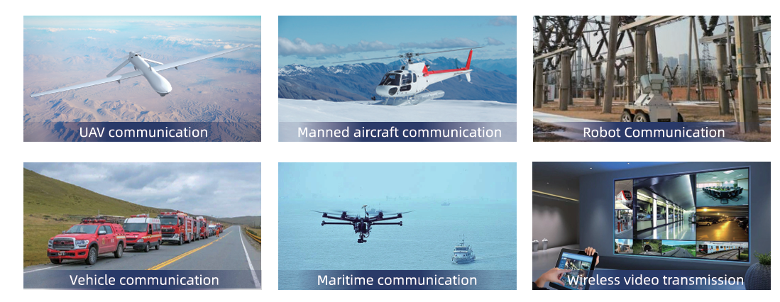
Our Advanced Product Portfolio:
Using equipment like Tethered Drones can also simplify compliance with the 400 foot rule for drones. A tethered system physically limits the altitude of the drone, ensuring it cannot inadvertently drift into controlled airspace or exceed altitude limits, making it ideal for continuous surveillance or communications relay in sensitive areas.
7. Global Context: Is the 400 Foot Rule Universal?
While this guide focuses on FAA regulations, the 400-foot (120-meter) limit is a global standard.
- EASA (Europe): The “Open” category limits flights to 120 meters (approx 394 feet) from the closest point of the surface of the earth.
- CAA (UK): Strictly enforces a 400-foot (120m) height limit.
- Transport Canada: Limits Basic operations to 400 feet AGL.
- CASA (Australia): Enforces a 120-meter limit.
However, the “structure exception” (flying 400ft above a building) is not universal. In many European jurisdictions, the 120-meter limit is hard and absolute in the Open category, regardless of nearby structures. Always check local laws before flying internationally.
8. Best Practices for Altitude Management
To ensure you never accidentally violate the 400 foot rule for drones, follow these best practices:
1. Set a Geofence Ceiling
Most modern flight control software (like DJI Fly or Mission Planner) allows you to set a “Max Altitude.” Set this to 390 feet (118 meters) to provide a safety buffer against barometric drift.
2. Use Visual Observers (VO)
Depth perception is difficult when looking straight up. A VO can help judge your altitude relative to surrounding obstacles and potential manned traffic.
3. Monitor Barometric Drift
Drones use barometers to estimate altitude. Rapid changes in weather or temperature can cause the reading to drift. Calibrate your IMU and compass regularly, and be aware that your screen might say “390 ft” when you are actually at 410 ft.
4. Know Your Launch Elevation
Remember that your drone calculates “0 feet” based on where it took off. If you launch from the top of a 200-foot cliff and fly out over the ocean, your drone might report “0 feet” altitude while actually being 200 feet MSL. Conversely, if you launch in a valley and fly up a hill, you might hit the 400-foot limit relative to the takeoff point, even if you are only 50 feet above the ground on the hill. Most regulations care about the drone’s height above the ground directly below it.
9. Summary Comparison Table
| Feature | Recreational Flyer | Commercial (Part 107) |
|---|---|---|
| Altitude Limit | 400 ft AGL (Strict) | 400 ft AGL (Standard) |
| Structure Exception | No | Yes (400 ft above/radius) |
| Controlled Airspace | LAANC Auth Required | LAANC Auth Required |
| Test Required | TRUST Certificate | Part 107 Remote Pilot Cert |
| Registration | Required (>250g) | Required (All drones) |
10. Frequently Asked Questions (FAQs)
If you are a recreational flyer, the answer is generally no. If you are a Part 107 commercial pilot, you can fly higher than 400 feet only if you are within 400 feet of a structure (like a tower or building) and stay within 400 feet above its top, or if you have a specific waiver from the FAA.
Yes. Even though Tethered Drones are physically connected to the ground, they are still considered aircraft in the NAS. They must adhere to altitude limits and airspace restrictions unless operating under a specific waiver or in a constrained environment like a covered stadium.
Violating airspace regulations can lead to significant civil penalties from the FAA, ranging from warning letters to fines exceeding $20,000 per violation. In extreme cases involving endangerment of manned aircraft, criminal charges can apply.
Use FAA-approved apps like B4UFLY, Aloft, or OpenSky. These apps provide interactive maps showing Class B, C, D, and E airspace and allow you to apply for LAANC authorization instantly.
11. References
1. Federal Aviation Administration (FAA), “14 CFR Part 107 – Small Unmanned Aircraft Systems.”
2. FAA Advisory Circular 91-57B, “Exception for Limited Recreational Operations of Unmanned Aircraft.”