Anti Jamming Antenna
Showing 19–27 of 166 results
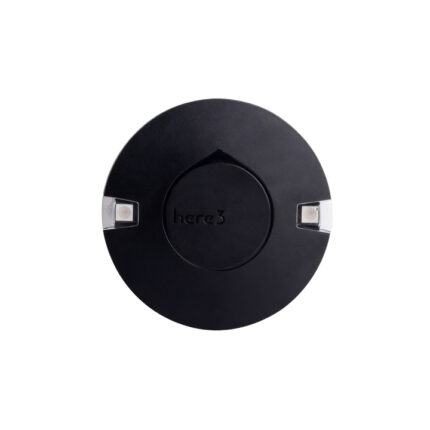
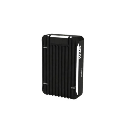
M-RTK 9P High Precision Positioning Module
The M-RTK 9P High Precision Positioning Module is a cutting-edge solution designed for applications demanding exceptional location accuracy. Leveraging advanced RTK (Real-Time Kinematic) technology, it delivers centimeter-level positioning performance, making it ideal for precision agriculture, surveying, unmanned systems, and industrial automation. Equipped with robust multi-constellation GNSS (GPS, GLONASS, BeiDou, Galileo) reception, it ensures reliable operation even in challenging environments with signal obstructions. Its compact design and low power consumption enable seamless integration into diverse devices, while real-time data transmission capabilities support dynamic, high-precision positioning needs. Whether for autonomous navigation or precise geospatial mapping, the M-RTK 9P stands as a reliable choice for professional-grade positioning tasks.
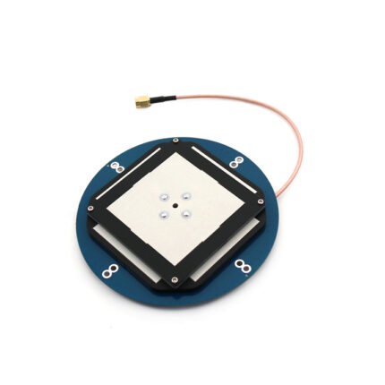
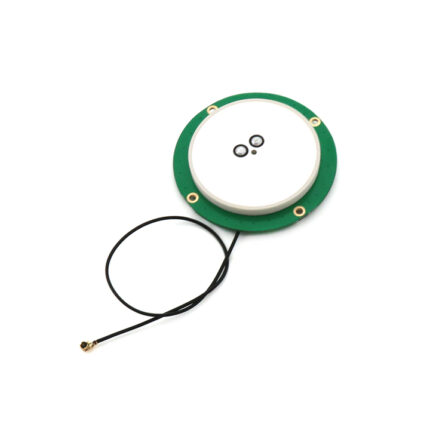
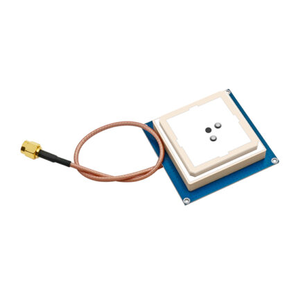
RTK GNSS Antenna MA-4020
The MA-4020 is a high-performance, multi-constellation RTK (Real-Time Kinematic) GNSS (Global Navigation Satellite System) antenna designed for precision positioning scenarios that demand centimeter-level accuracy. It integrates advanced signal reception technology and robust structural design to deliver reliable performance across diverse industrial and professional applications.
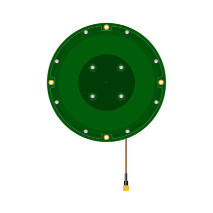
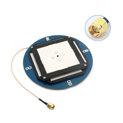
RTK GNSS Antenna MA-4820
The MA-4820 is an advanced full-frequency RTK (Real-Time Kinematic) GNSS (Global Navigation Satellite System) antenna engineered to deliver centimeter-level positioning accuracy for demanding professional applications. Leveraging state-of-the-art signal reception technology and robust structural design, it excels in complex electromagnetic environments while maintaining consistent performance across diverse industrial scenarios.
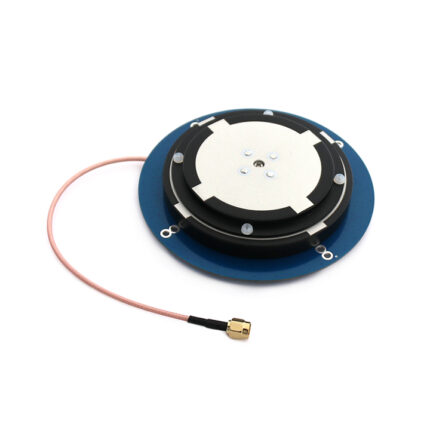
RTK GNSS Antenna MA-5620C
The MA-5620C is a cutting-edge, compact-grade RTK (Real-Time Kinematic) GNSS (Global Navigation Satellite System) antenna tailored for space-constrained professional applications that demand uncompromised centimeter-level positioning accuracy. It integrates next-generation signal processing technology, miniaturized hardware design, and industrial-grade durability to deliver reliable performance in scenarios where traditional larger antennas are impractical—such as small UAVs, portable survey devices, and compact autonomous robots.