🚨 Industry Pain Points
Modern UAV and high-precision navigation systems often face the following challenges:
- Inaccurate positioning in complex or obstructed environments
- Poor heading accuracy when using single-antenna GNSS systems
- Limited compatibility with regional CORS correction networks
- Insufficient support for multi-constellation GNSS signals
- Signal instability in dynamic or long-range operations
- Lack of centimeter-level positioning for industrial-grade applications
These limitations reduce mission reliability and restrict advanced autonomous operations.
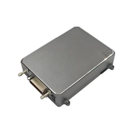
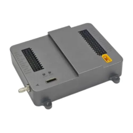
⚙ Product Advantages
Our GNSS positioning system is designed to solve these core industry problems:
- ✔ Supports real-time RTK (Real-Time Kinematic) high-precision positioning
- ✔ Dual-antenna heading system for accurate orientation and yaw determination
- ✔ Seamless integration with CORS networks such as Qianxun Network
- ✔ Full multi-constellation support for global GNSS coverage
- ✔ Advanced multi-frequency signal support for higher stability and accuracy
- ✔ Strong anti-interference capability in complex environments
- ✔ Designed for professional UAV navigation and autonomous systems
📡 Supported GNSS Signals
The system supports a wide range of satellite navigation constellations and frequencies:
- BeiDou (BDS): B1I, B2I, B3I, B1C, B2a, B2b
- GPS: L1, L2, L5
- GLONASS: L1, L2
- Galileo: E1, E5a, E5b, E6
- QZSS: L1, L2, L5, L6
This ensures global compatibility and reliable positioning performance in all environments.
🚁 Product Applications
This GNSS system is widely used in high-precision and mission-critical applications:
- UAV autonomous navigation and mapping
- Precision agriculture (spraying, surveying, terrain mapping)
- Drone surveying and photogrammetry
- Maritime and shipborne positioning systems
- Autonomous industrial inspection systems
- Robotics and intelligent transportation systems
⭐ Why Choose Us
- High-precision RTK positioning with centimeter-level accuracy
- Full compatibility with mainstream global GNSS systems
- Stable performance under complex environmental conditions
- Seamless integration with national CORS correction services
- Dual-antenna heading improves flight stability and navigation accuracy
- Professional-grade solution designed for industrial UAV applications
We provide reliable, scalable, and high-accuracy positioning solutions for demanding UAV and autonomous system applications.
❓ Frequently Asked Questions (FAQ)
Q1: Does this system support RTK positioning?
Yes, it supports real-time RTK (Real-Time Kinematic) for centimeter-level accuracy.
Q2: Can it connect to CORS networks like Qianxun?
Yes, it fully supports seamless integration with CORS networks such as Qianxun Network.
Q3: What is the benefit of dual-antenna heading?
It provides accurate yaw and heading information without relying on magnetic sensors, improving navigation stability.
Q4: Does it support multiple GNSS systems?
Yes, it supports BeiDou, GPS, GLONASS, Galileo, and QZSS multi-constellation signals.
Q5: Is it suitable for UAV applications?
Yes, it is specifically designed for UAVs, surveying systems, and autonomous navigation platforms.
| Category | Specification |
|---|---|
| Frequency Bands | BDS: B1I, B2I, B3I, B1C, B2a, B2bGPS: L1C/A, L1C, L2P (Y), L2C, L5GLONASS: L1, L2Galileo: E1, E5a, E5b, E6QZSS: L1, L2, L5, L6 |
| Channels | 1408 channels |
| Accuracy (RTK RMS) | Horizontal: 0.8 cm + 1 ppmVertical: 1.5 cm + 1 ppm |
| Heading Accuracy (RMS) | 0.2° / 1 m baseline |
| Time Accuracy (RMS) | 10 ns |
| Velocity Accuracy (RMS) | 0.03 m/s |
| Data Update Rate | 20 Hz |
| Cold Start Time | < 30 s |
| Initialization Time | < 5 s (typical) |
| Power Consumption | 2.5 W (typical) |
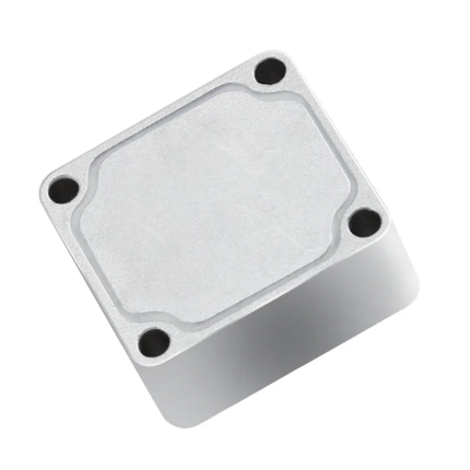
| Dimensions | 75 × 50 × 22 mm |
| Weight | 85 g |
| Operating Temperature | -40°C ~ +85°C |
| Storage Temperature | -55°C ~ +95°C |
| Humidity | 95% non-condensing |
| Vibration | GJB150.16-2009, MIL-STD-810 |
| Shock | GJB150.18-2009, MIL-STD-810 |
| Storage Capacity | Standard 32 GB (expandable) |